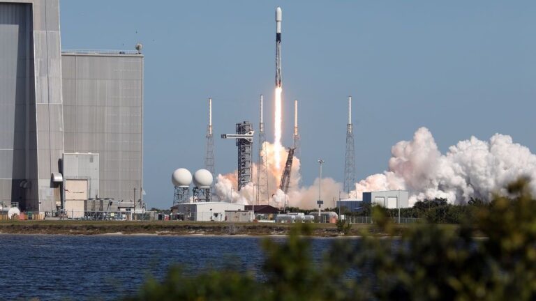
The joint NASA-ISRO Synthetic Aperture Radar (NISAR) satellite mission, launched on July 30, is on track to begin full science operations this fall. The mission marks a milestone in U.S.–India space cooperation and is designed to deliver detailed insights into Earth’s changing land and ice surfaces.
Key Developments Since Launch
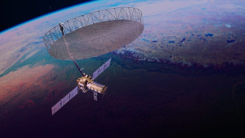
- Antenna Deployment: On August 15, the mission team successfully unfurled the satellite’s 12-meter radar antenna reflector.
- System Activation: Both the L-band and S-band synthetic aperture radars were powered on, confirming their ability to operate as planned.
- Health Checks: Preliminary evaluations by NASA and ISRO confirmed normal spacecraft and payload performance.
- Orbit Raising: The satellite began maneuvering to its operational orbit of 747 kilometers on August 26.
The mission is expected to start producing science-quality radar images in the coming weeks, with full-scale operations commencing about 90 days post-launch.
Unique Dual-Radar Capability
NISAR is the first satellite to operate both L-band and S-band radar systems.
- The L-band radar (24-centimeter wavelength) penetrates vegetation to monitor soil moisture, forest biomass, and surface motion across land and ice.
- The S-band radar (10-centimeter wavelength) is tuned for agricultural monitoring, grassland ecosystems, and snow studies.
Together, these instruments can collect data day and night, even through cloud cover and precipitation, and revisit most of Earth’s land and ice surfaces twice every 12 days.
Mission Significance
The data will provide unprecedented detail on natural hazards, such as earthquakes, volcanic activity, and landslides, by detecting ground movements as small as a fraction of an inch. The observations will also support global monitoring of forests, agriculture, and climate-related changes.
International Collaboration
The mission reflects years of technical partnership between NASA and ISRO.
- ISRO contributed the S-band radar, spacecraft bus, and launch services from Satish Dhawan Space Centre.
- NASA’s Jet Propulsion Laboratory provided the L-band radar, antenna reflector, and data systems, while Goddard Space Flight Center manages the Near Space Network to handle NISAR’s data transmissions.
With operations jointly monitored through ISRO’s global tracking stations, the mission demonstrates how international collaboration can drive innovation in Earth science.


